

Repromap

Description of Repromap
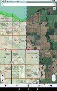
No more carrying around a stack of paper maps or traveling to different counties to buy them. Shop from more than 70 available map layers to open up additional boundary and land owner information for the zones you visit the most. Know where you are and who to contact for permission to keep things safe and respectful. Customize your experience to be just what you need, right on your device.
Choose from a range of base map types including satellite, topographic, hybrid, and road maps. Then choose what to download and take with you.
Control what you see using multiple built-in map layers or customize the map even more by adding your own TMS and WMS data layers.
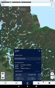
Add customizable markers at any location with icons, photos, descriptions, and weather information.
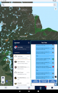
Track your position and plot your route directly on the map, including duration, distance, and altitude information.
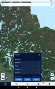
Draw and measure on the map to plan your hunt or mark out important parcels of land and save them for reference.


